Contact
If you want to access the system,
please contact with
Jesús Garrido
SPIDERwebGIS User Coordinator
If you want to access the system,
please contact with
Jesús Garrido
SPIDERwebGIS User Coordinator
SIRIUS is developing efficient water resource management services in support of food production in water-scarce environments. It addresses water governance and management in accordance with the vision of bridging and integrating sustainable development and economic competitiveness.
The project is developing new services for water managers and food producers, including maps detailing irrigation water requirements in different areas, crop water consumption estimates, and a range of additional information products in support of sustainable irrigation water use and management under conditions of water scarcity and drought.
Applying an integrated approach based on public participatory geographic information systems (ppgis) and social multi criteria evaluation, SIRIUS is developing a GMES service that takes into account the interrelated economic, environmental, technical, social and political dimensions of the food-water challenge.
A set of pilot Case Studies represents a sample of the wide range of conditions found in the world, covering Spain, Italy, Romania, Turkey, Egypt, Mexico, Brazil, and India.
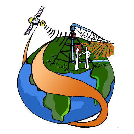
The cartoon says it all: the satellite as a friend of farmers
